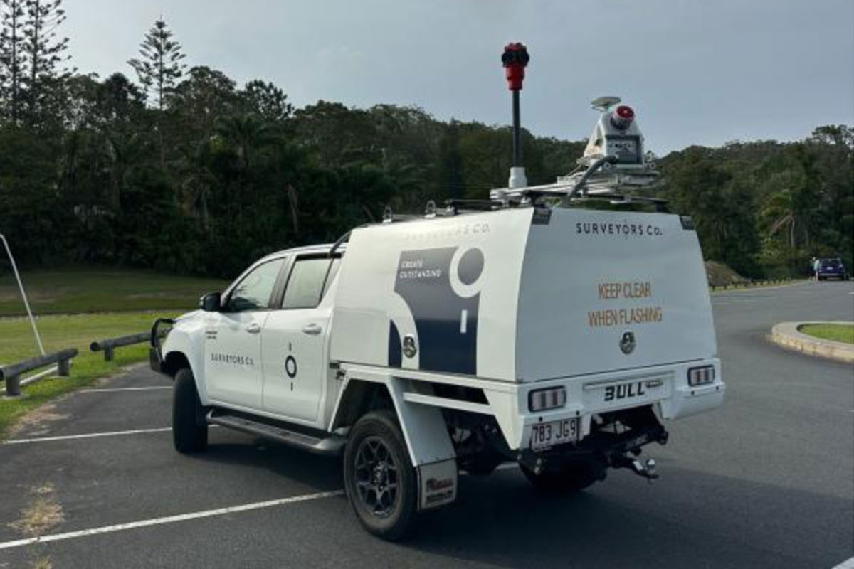
Engineering survey for smarter infrastructure decisions
Mobile Laser Scanning (MLS) collects comprehensive, high accuracy data along infrastructure corridors.
We use Mobile Laser Scanning to reduce project risk, improve safety and deliver engineering-grade survey data for roads, highways and infrastructure.
Surveyors Co. are proud of our MNG collaboration to provide this service. Increased safety, minimised disruption to traffic, and no traffic control requirements make this survey-accurate data collection technology increasingly attractive to many of our clients.