Safer field capture. Complete underground geometry. One coordinated dataset for engineering, maintenance and asset management.
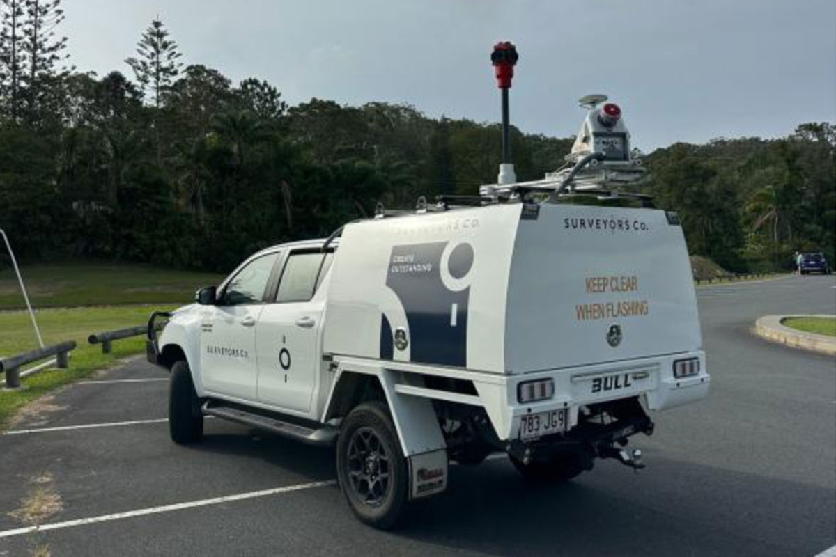
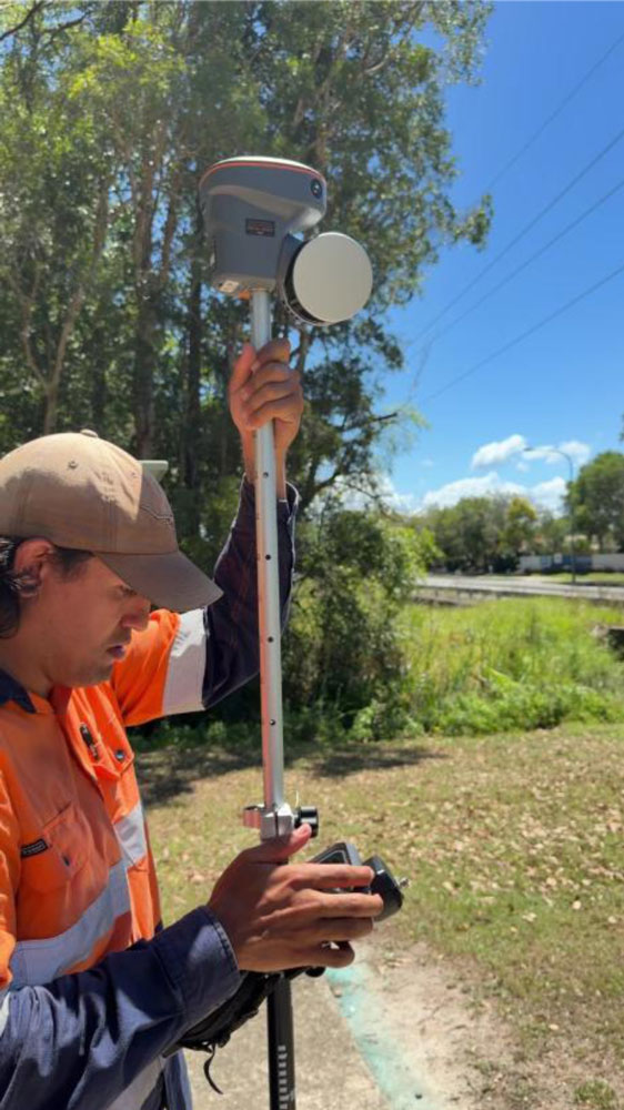
Trimble X7 TLS | MLS point cloud integration | CHCNAV RS10 bulk capture
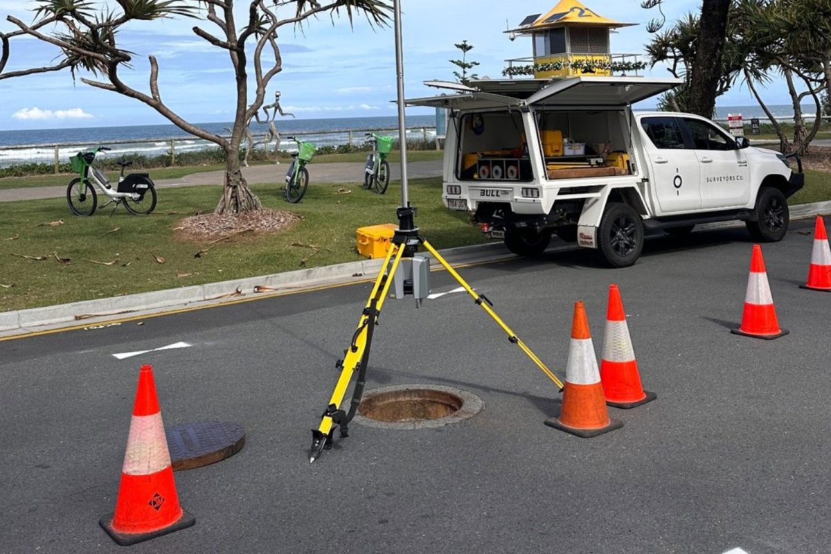
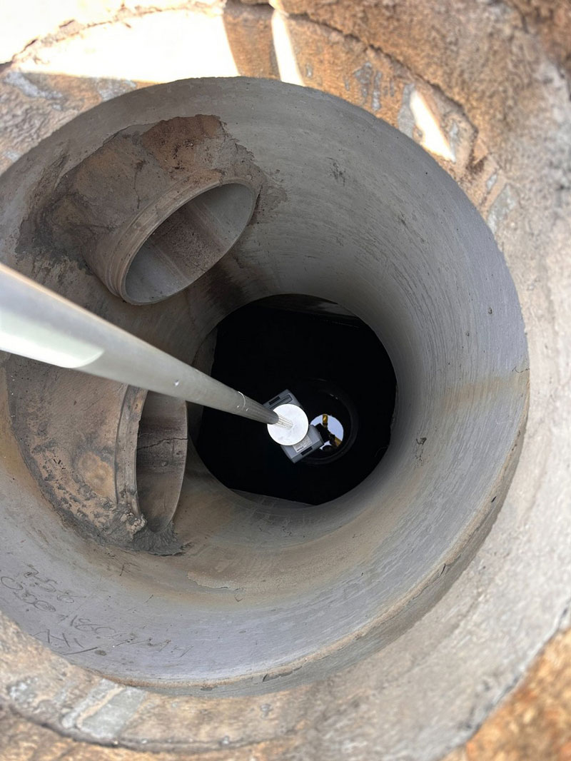
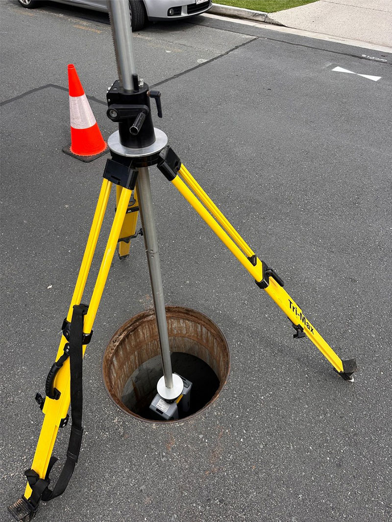
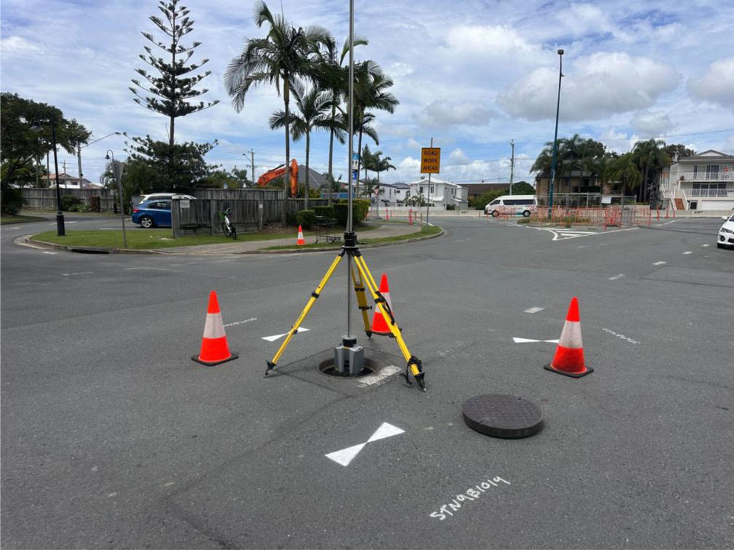
Purpose-built surface setup allows the scanner to be lowered into the chamber while the operator remains above ground.
Static terrestrial laser scanning for priority, complex or engineering-critical assets.
BEST FIT: Detailed or complex pits
Particularly valuable for junction pits, large chambers, multiple pipe connections and irregular structures.
The point cloud becomes a permanent digital record – dimensions can be revisited in the office long after the lid is closed.
Capture is subject to line of sight, water level, access, debris and other site conditions.
From a representative pilot through to corridor or network-scale asset programs.
Asset list, purpose, required outputs and accuracy.
Adopt existing control / MLS base or establish project control.
X7 TLS or RS10 selected to suit pit type and program.
Point-cloud matching, checks and spatial validation.
Engineering, GIS, asset and visual review outputs.
Validate the method, outputs and QA on a small sample before wider rollout.
Combine MLS surface capture with underground scans for design and rehabilitation.
Scale capture and attributes across a larger council pit / maintenance-hole inventory.
The capture plan can be tailored around council asset priorities, traffic environment, maintenance windows and required engineering outcomes.
One capture workflow – multiple engineering and asset-management outputs.
Controlled 3D dataset for desktop interrogation and future reuse.
Dimensioned views and cross-sections derived from the scan.
Asset geometry and connectivity attributes where visible.
Design-ready extraction tailored to the project requirements.
Structured information to support council asset systems and updates.
Documented spatial framework, point-cloud matching and verification.